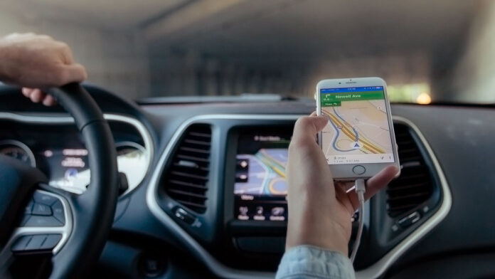
If it would only take a few more minutes to reach your destination, would you want to take a safer route?
Tarek Sayed, professor of civil engineering at the University of British Columbia, is betting that many people would. Using a fleet of 10 drones gathering observations on the streets of downtown Athens, Greece, his team developed a way to predict crash risk in real time. Their new algorithm is ready to integrate into navigation apps like Google Maps, and their study was published in Analytic Methods in Accident Research.
The team used a rectangular grid system for their analysis, including 102 intersections. Having a large and interconnected network was important to ensure that there would be many possible links and routes to consider. Over several days, they looked at metrics like vehicle position, speed, and acceleration as predictive factors in a calculation of safety or risk. They also collected data on crashes and near-misses to inform their model.
Based on the duration of exposure to risk factors on a certain route, they could calculate an overall crash risk score. It’s a more dynamic way to assess route safety with current conditions than would be possible using only historical data.
From there, the authors could compare routes for any origin-destination pair within their grid. They found that the safest routes were 22 percent safer on average than the fastest routes. It did come with a small tradeoff in mobility, increasing travel time slightly, by 11 percent on average.
The good news is that the safest route and the fastest route were identical 23 percent of the time. The authors were also able to adapt their model to give a balance between travel time and crash risk, identifying potential middle-ground routes while still weighting the preference towards safety.
The team is now extending their research into other cities, like Boston, where self-driving vehicles are also being included for an even richer data set.
“If an urban road network has access to new technologies such as autonomous vehicle data, cameras and other sensing technologies, new possibilities open up for real-time safety measurement and effective routing,” said Sayed in a press release.
“These technologies are now generating unprecedented amounts of data, giving rise to new smart mobility applications in the future.”
The team also has their eye on future expansion for routing cyclists and pedestrians on the safest routes, as they are some of the most vulnerable users on our roads. Making advances there could have an even bigger impact on personal safety.
There are many ways to get from Point A to Point B, and every road user is going to have different and shifting priorities. A user’s choice on any given trip might depend on the weather conditions, whether they need to be somewhere at a specific time, how familiar they are with their surroundings, or who else might be in the vehicle.
Significant effort has been focused on travel time, traffic flow, and even carbon emissions, this is one of only a handful of studies to consider real-time routing to prioritize safety. While improving road design is also an important factor in improving road safety for everyone, opting for a safer existing route is an action that individual users could start taking immediately to reduce their risk.


