If it seems to you like wildfires are becoming more common and more severe, you wouldn’t be wrong.
The 2016 wildfire in Fort McMurray, Alberta displaced nearly 90,000 evacuees, and swept through 590,000 hectares before it was declared under control. It continued to smoulder for over a year before the wildfire was fully extinguished and remains the most costly insured natural disaster in Canadian history.
In 2017, over 1,300 wildfires burned through over 1.2 million hectares in British Columbia, triggering multiple air quality advisories and making it the province’s worst wildfire season in history and longest state of emergency.
The truth is that hotter and drier climates are fuel for wildfires. Warmer weather accelerates water evaporation and plant transpiration, where moisture is drawn out of plants through leaves and stems. This adds up to drier and more combustible wood.
When experts talk about limiting rising global temperatures to a 2 °C increase, there is more to it than climbing sea levels. For every degree of warming, a 10 percent increase in precipitation is needed to quell wildfire risk, and that balance is not being maintained.
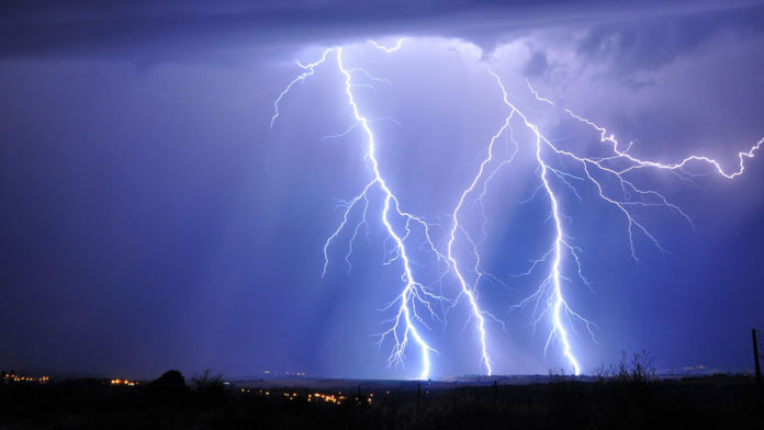
Also tied into the climate equation is the increased risk of thunderstorms, where lightning strikes can ignite wildfires. An average of 250,000 cloud-to-ground lightning strikes happen every year in Alberta alone, making them a major cause of Canadian wildfires.
To stay one step ahead, researchers at the University of Calgary are using artificial intelligence and satellite data to predict where lightning is likely to strike fire-prone areas. While the models can’t predict exactly when, they can predict frequency and likelihood of lightning strikes, which have seasonal and geographical patterns.
Using historical data in Alberta from 2010 to 2016, hotspot analysis uncovered regions where clusters of cloud-to-ground lightning strikes happen at high frequency. The study also looked for patterns in how lightning is affected by elements like land use, soil type, elevation, vegetation cover, and surface temperature.
Co-author Jeong Woo Kim, professor of geomatics engineering at the University of Calgary, believes that the analysis could predict the locations of highest wildfire risk with a statistical accuracy of over 90 percent.
Allocating firefighting resources will only become more urgent as wildfire frequency continues to increase. Smarter decision making includes where new fire stations should be built and where pipelines and power lines should be avoided. This preparation could help contain more fires when lightning strikes.


