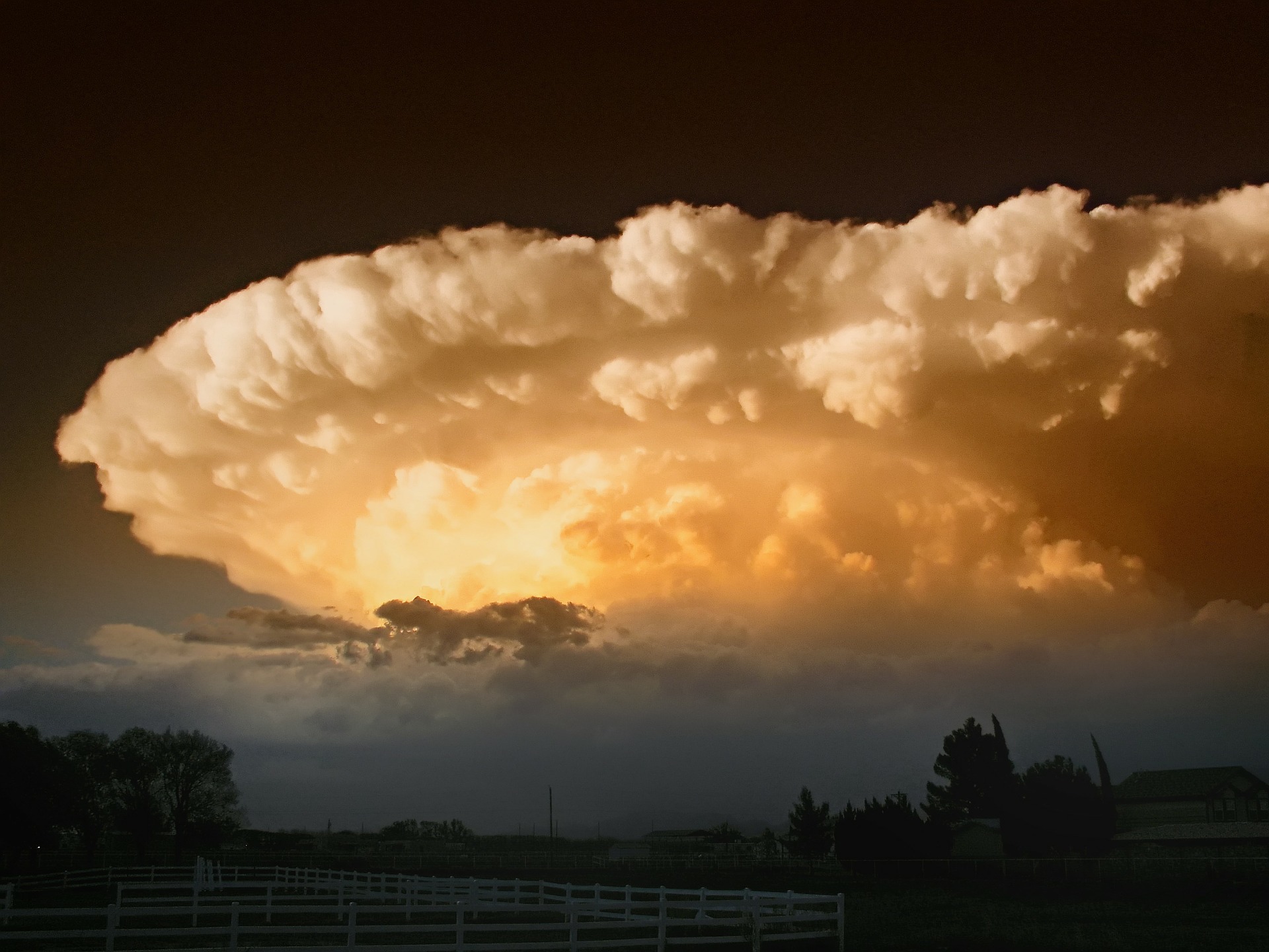
When it comes to tornadoes, a little extra warning can go a long way. Unlike hurricanes, which form over water and are usually tracked for days before hitting land, tornadoes form directly over land and can hit the ground within minutes.
No wonder Dorothy and Toto got caught off guard.
Thankfully, two researchers from Western University have found a way to improve short-term tornado forecasting, giving you up to 20 extra minutes of warning time. The new prediction method adds one extra factor to the usual mix of ingredients: turbulence.
How are tornadoes formed?
Tornadoes are formed from supercell thunderstorms – storms with very strong, rotating updrafts that can produce all sorts of extreme weather events including hail. The problem is, we still don’t really know why some supercell storms produce tornadoes and some don’t.
Most studies to date have focused on wind speed and the presence of cloud overshoot – dome-like protrusions from the top of a thundercloud – for predicting tornadoes. Other factors like wind turbulence were ignored because they simply weren’t measured.
That’s why Anna Hocking, a Western University alumna, and Professor Wayne Hocking of the Western University Department of Physics, used O-QNet: a group of 10 very high frequency radar arrays in southern Ontario and Quebec specifically designed to measure wind turbulence strengths from 0.5 to 14 km altitude on a minute by minute basis.
“Strong turbulence can cause physical damage in any circumstance and occurs within tornadoes too, but in our case there is an additional effect in that the strong turbulence drives the clouds and humidity to high altitudes – well into the stratosphere – and this is one of the effects we measure,” explains Wayne Hocking.
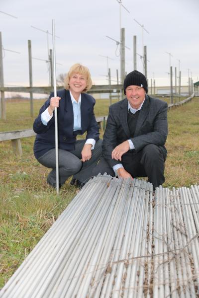
Photo credit: Western University, London, Canada
Predicting a tornado 101
By analyzing the weather patterns around 31 documented tornadoes, they found a unique signature of wind speed, cloud overshoot, and turbulence that was present 10 to 20 minutes before a tornado struck 90% of the time.
Of course, Canada is not exactly a tornado hotbed. Those 31 tornadoes were documented over 16 years, whereas Tornado Alley in the central United States gets 298 tornadoes during an average month of May. According to this study, Tornado Alley could benefit from its own set of very high frequency radar arrays.
The study also found that it was important for tornado formation that the cloud dome enters the tropopause – the boundary between the troposphere, the lowest level of the atmosphere, and the stratosphere. This could just be a measure of the severity of the storm needed to produce a tornado, or it could be part of a larger mechanism of tornado formation that has yet to be discovered.
Either way, this technique is a big improvement over current predictions, which cover large areas and often turn out to be false alarms. The Hockings’ technique gives false positives only 15% of the time.
“All my research is exciting to me,” says Wayne Hocking, “but in this case it’s not so much about excitement as about the satisfaction in knowing that we are contributing to the safety of public citizens.”
Who knows, if very high frequency radar had been around in 1900, the Wizard of Oz may have been quite a boring book.