Cell phones have previously been used in a number of environmental research projects, and now, they’re helping scientists learn how to manage green spaces.
By anonymously tracking GPS data from public parks, scientists have been able to figure out where parkgoers spend most of their time — as well as where conservationists should focus their efforts.
Alessandro Filazzola, who recently completed a postdoctoral position at the University of Toronto Mississauga’s Centre for Urban Environments, was first author of the study published in PLOS Computational Biology.
Public parks are not only an important part of our environment, but they’re also a valuable resource for our populations. In fact, during the COVID-19 pandemic, more than half of all Canadian cities saw an increase in public park usage. Yet balancing the needs of parkgoers with the needs of plants and animals in public parks can be tricky.
Part of the difficulty in figuring out how these environments should be managed lies in knowing exactly how parkgoers use these spaces. Traditional surveys or heatcounts of park visitors can be time-consuming, which is why Filazzola and collaborators turned to another source of data.
The team used information from Mapbox, which anonymously gathers location data from apps like Facebook, Snapchat, and Uber. This allowed them to track visits to 53 different parks in the municipality of Halton, as well as determine how parkgoers spent their time during their visits.
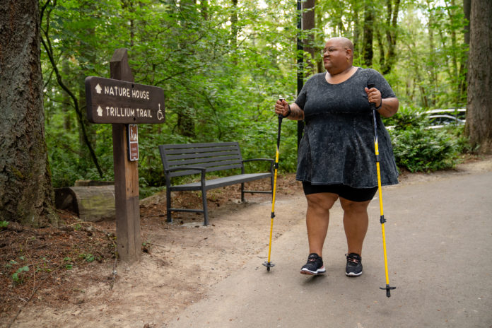
They found that most parkgoers tended to stay on maintained trails, rather than wandering off into other parts of the park.
“The on-trail activity was probably the most surprising to us,” Filazzola said in a press release.
“We had suspected that people would enter the park and go all over the place, but it turns out that people really like trails and they like to stay on the trails.”
Also popular among parkgoers were cliffs or interesting rock formations. The GPS data revealed that people tended to congregate around these landscapes more than other areas of the parks.
This study represents the first step in applying anonymous GPS data to wildlife conservation in public parks. Now that scientists know where parkgoers spend their time, and how they’re using the land, they can create strategies for keeping the rest of the park healthy and safe.
For example, park managers could focus on keeping park trails clean and well-maintained. Since parkgoers tend to like these spaces, this could prevent anyone from encroaching on wildlife found in off-trail locations.
“Managing green spaces is complicated because they play so many different roles, for human health, stormwater retention, biodiversity and so on,” Filazzola said.
Yet with the help of GPS data, scientists can work on park management strategies that maximize the benefits of these important green spaces for humans and wildlife alike.


